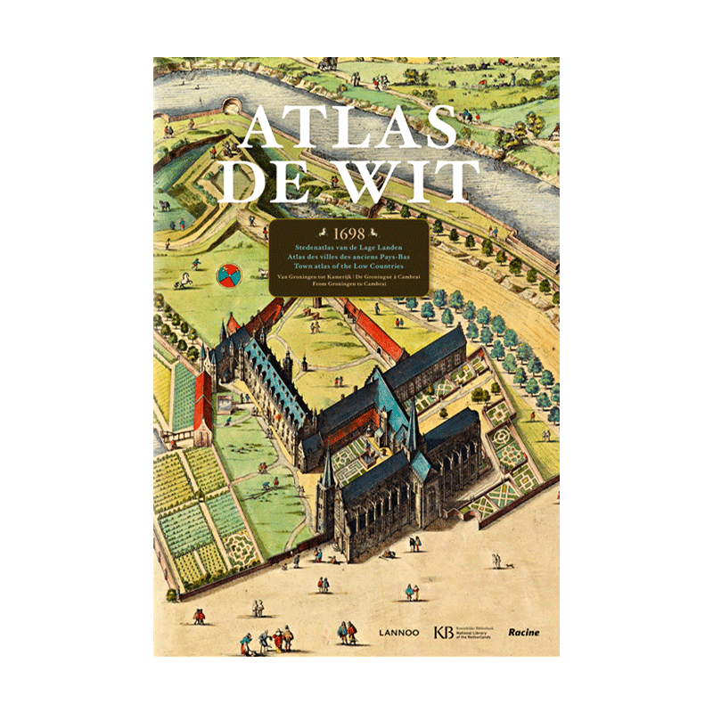


Vintage Maps: City Architecture in Watercolor Sketches

Details
Exclusive large‑folio original edition
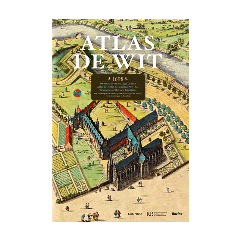
Atlas De Wit: City Atlas of the Low Countries
Trilingual: Dutch, English and French
Vintage hand‑drawn maps, city plans and architectural illustrations – oversized, weighs approx. 7.5 kg
This magnificent extra‑large atlas presents hand‑drawn maps of 185 different cities in the Netherlands and Belgium, including Amsterdam, Antwerp, Brussels, Gouda, Leeuwarden, Leiden, Middelburg and Zwolle. Not all plates are maps; some depict key buildings or city panoramas, especially in Amsterdam.
The illustrations often span two pages, all in full colour. You can see every pen stroke, every person on the walls, every colour speck on the rooftops.
The accompanying text, available in Dutch, English and French, is highly informative and accessible. For larger cities, it explains the history and urban development, providing context for the buildings and features shown on the maps.